09636000999
NTrack is the largest GPS tracking and vehicle management service of our country which was established with the aim to use the combination of hardware and software solution to track vehicles in an easy and efficient way. It started in 2009 registered under the name NITS Service Pvt. LTD, a sister concern of Nitol Niloy Group and was licensed by Bangladesh Telecommunication Regulatory Commission (BTRC).
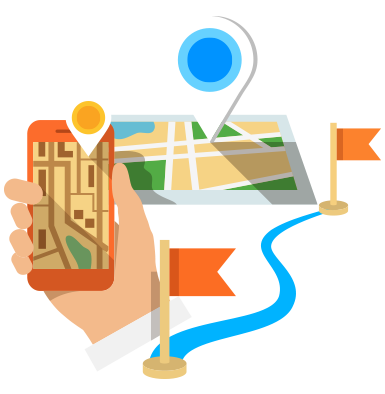
The Global Positioning System (GPS) is the only fully functional Global Navigation Satellite System (GNSS). Utilizing a constellation of at least 24 Medium Earth Orbit satellites that transmit precise microwave signals, the system enables a GPS receiver to determine its location, speed, direction, and time. Developed by the United States Department of Defense. The satellite constellation is managed by the United States Air Force 50th Space Wing.
General Packet Radionitswp Service (GPRS) is a packet oriented Mobile Data Service available to users of Global System for Mobile Communications (GSM). It provides data rates from 56 up to 114 kbit/s. GPRS can be used for Internet communication services such as email and World Wide Web access. GPRS is a best-effort packet switched service, as opposed to circuit switching, where a certain Quality of Service (QoS) is guaranteed during the connection for non-mobile users

A Geographic Information System (GIS), is any system for capturing, storing, analyzing and managing data and associated attributes which are spatially referenced to Earth. This data are used for digital map representation of any part of the earth. Geographic information science is the science underlying the geographic concepts, applications and systems, taught in degree and GIS Certificate programs at many universities.
Licensed by BTRC


